Intersection of Science and Policy
Extreme Cold, Snow Possible in Jerusalem Area
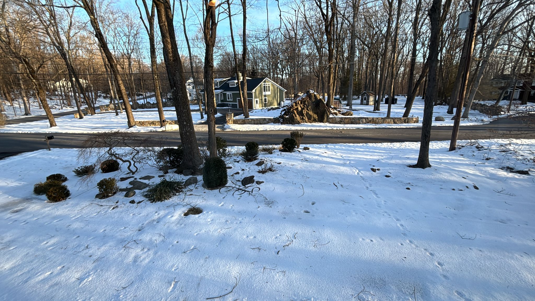
Snowfall in Millwood NY Shivers in the Cold. (Barry Lynn)
Good Afternoon:
Because the Meteorological Service pushed the government to pass a regulation making it harder for private businesses to operate in Israel, I no longer make forecasts specifically for our area. That doesn’t mean I won’t, but for now I just want to fill you in.
There is a lot of cold air moving into our area from the north and we’re going to see the coldest temperatures in quite a while, perhaps going back to our 2015 February snowstorm (a Friday evening). The cold will last into Tuesday morning and I expect many solar heater collectors to burst (unless at least closed off to circulating water).
In the meantime, there will be two rounds of precipitation, early Shabbat morning into Sunday morning and Sunday night into Monday morning in the Jerusalem area. While temperatures at the lowest levels are forecast to cool until Monday morning, the upper level support for turning rain into snow is less certain. About 35% of the GEFS members bring us a snowstorm from late Shabbat until Sunday morning. If these become the “truth” (verify), it will also snow Sunday night into Monday morning.
Looking at other forecast models, the “GEM” (the Canadian model) is very bullish on bringing us a snowstorm, while others like the GFS and ECMWF are not. However, the deterministic models (single forecasts) are all trending towards the colder solutions within the ensembles.
As typical, it will be a close call, and typically — as much as life here — we’ll be surprised.
Bundle up!
Barry Lynn
Related Topics
Related Posts