
Jerusalem Tour Guide and Educator
Putting unrecognized villages on the map
Well known to friends and family as a sometimes perilous, but usually harmlessly inept, navigator, I often look to the shining blue dot on Google maps as a beacon of light and purpose. I am shameless in my similarity to a caricature of a directionless millennial on the street, head craned over a glimmering screen, walking every which way until the arrow of the blue dot has finally aligned with my set course.
For those blessed with better navigational capabilities, maps tend to only step into the limelight when we find ourselves in unfamiliar locations. Often, planning’s effect on our lives is invisible-we don’t think twice when mail successfully comes and goes or when guests seamlessly follow directions to our homes. The maps, blueprints, and master plans that organize our hypersystamized world fall into the technological shadows of our busy lives. Unless, of course, they suddenly cease to function. Then, the extensive influence and troublesome power dynamics of who writes maps and how they affect our lives are revealed.
As the newly arrived New Israel Fund Shatil fellow at Bimkom, I’ve spent my first month on the job diving into what it means to be #onthemap. Over the past year, Bimkom has been mapping and uploading 160 communities in Area C onto digital mapping platforms. At the end of the project, this will mean that any traveler or curious researcher can locate them through a simple search on Google or Waze. Their existence on the map creates comprehensible proof that these villages not only exist, but serve as the homes and cultural legacy of a community with a complex and colorful history.
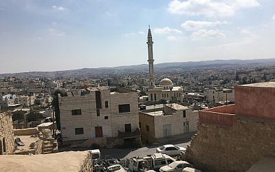
In order to map these communities, the Bimkom Area C team set out to Yatta, where residents and a municipal leader of the surrounding villages would be meeting us. On our drive into the city, I watched the landscape of the West Bank through the windows, noticing how drastically it changed as the road winded from well kept, lush Jewish settlements towards dusty, litter strewn Palestinian cities and villages.
The first noticeable sign that we had entered Yatta was how suddenly the road changed-potholes and unmarked speed bumps made the ride a cause of hilarity as Asmahan, Bimkom’s Area C field worker, attempted to drive carefully. The feeling that I had suddenly left the “developed” world couldn’t have been clearer-until we later found out that a massive USAid project was one of the reasons for the road conditions. The project was redoing all the pipes as Yatta’s running water had shut down.
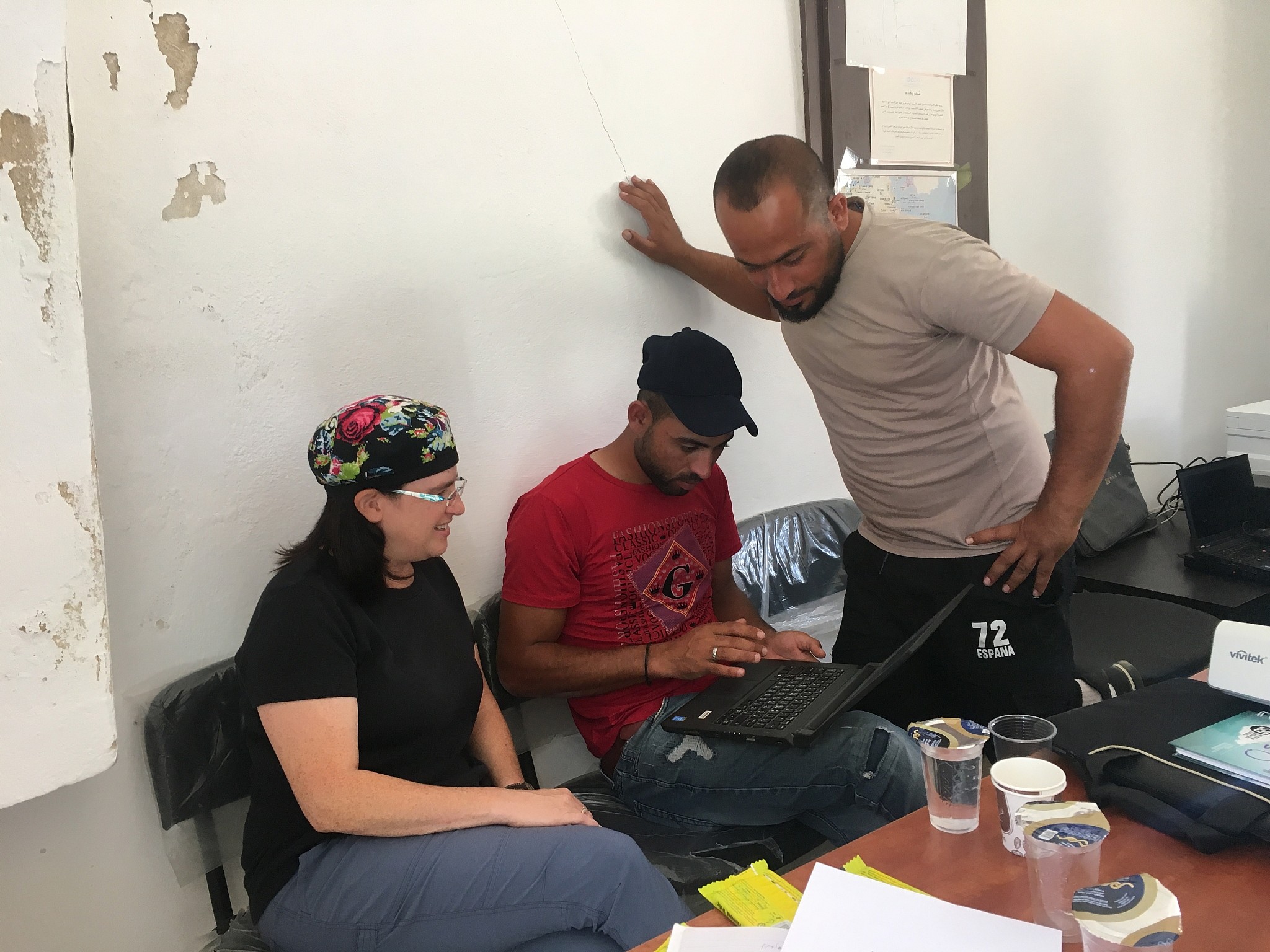
Upon our arrival to the office, we were greeted by three young men from the villages of Atwanee, Tuba, and Susiya. Under a frenzied cloud of Hebrew-English-Arabic translation and a frustratingly slow Wifi connection, Naava, Bimkom’s GIS expert, presented to the three young men how their villages could be mapped online through aerial photos and the importance of accurate mapping. The workshop then turned to the men outlining pastures, labeling their homes, marking cave locations and other geographical features. Laptops were passed around, keyboards and dialogue switched seamlessly from English to Arabic, lemon wafers were handed out-the atmosphere of the office had a bewitching air of lightheartedness and importance. Sporadically, laughter would ensue when a resident forgot to save his work, but the feeling that putting the villages on the online map felt urgent, as if bringing them into existence virtually would make their circumstances known globally.
In Area C (Israeli military and civilian control), Bedouin homes and lifestyles are constantly threatened by the expanding settlement movement. Settler localities and their powerful political proponents advocate for displacing Bedouin communities in order to expand settlements. As the majority of these Bedouin communities are not recognized by the Israeli government, they are not formally planned and lack basic infrastructure. This means any building that communities pursue to create a semblance of normalcy is considered illegal, ultimately leading to the fact that over 180 Bedouin villages in Area C face significant demolition orders. Demolition orders and ultimately, demolitions, subvert the traditional Bedouin economy and throw communities into poverty.
Bimkom’s initiative to map Bedouin communities is a method of resistance to displacement. Foremost, neighboring settlements are all well mapped and easy to navigate. Their presence on the maps often makes it appear that the land surrounding them is simply empty space. To combat this effect, the presence of Bedouin communities and their pastoral lands on widely accessed mapping platforms will not only show that settlements cannot sprawl with no consequence, but also to make the point that Bedouin communities are abundant and indisposable.
Labeling these marginalized communities on the map seems like a small technicality. However, in the dynamic and volatile West Bank, the difference between existence and non-existence on a virtual mapping platform is not only vital to general awareness, but can ultimately make the difference between actual existence and non-existence. After all, all those who are perpetually lost know the great power wielded by individuals who read maps. In the same vein, the societies that write the maps have the power to determine the services, permanence, and quality of life for those who do not.
Related Topics
Related Posts