Intersection of Science and Policy
Rain, if not Snow on the Way
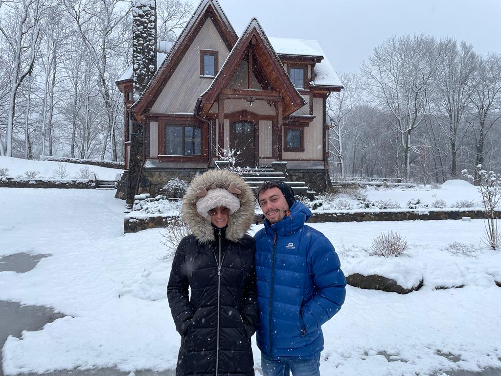
A Young Couple enjoys the Snow (A reminder of Quieter Times) (Barry Lynn)
Our Israel Winter Weather Group’s Yaakov Cantor had a lot to say about the upcoming weather. He noted that “today marks the fifth day with temperatures at or above 20C in Jerusalem, and tomorrow is also expected to exceed this threshold. This would mark the fourth longest such streak of consecutive warm days since 1950 in the period from the end of November to December.”
Hence, the next two to three possible weeks will seem like quite a contrast with our past week of relatively mild weather. Yaakov noted that from Tuesday into Wednesday, temperatures should drop by about 8 degrees Celsius, generally through the country. The temperatures should then continue their downward trend and the wet weather will just add to the feeling that winter has arrived (or at least returned for an extended period of time).
In fact, he wrote that an active period of weather looms, with four storms expected to impact us and our Chanukah Holiday plans. Of course, planning anything in this time of war is a bit tenuous, and we wish that our soldiers and volunteers will stay warm no matter where they are and what they are are doing.
In regard to the details, a cold front should arrive Tuesday afternoon, tapping into deep tropical moisture from the Red Sea. The combination of a strong cold front and tropical moisture suggests that Thunderstorms will form (with hail), and the potential for flooding. Yaakov is suggesting that a brief but locally heavy surge of showers is expected late Tuesday afternoon and evening. This should produce 8 to 25 (or more) mm of precipitation in most of the country from the northern Negev northward.
Then, another storm system is expected to arrive close on its heels, bringing a round of scattered showers to the central and northern coast, Galilee and Golan Heights this Wednesday into early Thursday.
If you’re putting your candles outside for Chanukah, make sure they are in a covered area, as the third storm in the our series of storms should arrive just in time for the second day of Chanukah, Friday into early Shabbat. The Central Mountains including Jerusalem will likely see a period of showers late Friday afternoon into Shabbat evening, but the heavier and steadier rains are expected to focus near the central and northern coastal plain and its foothills as well as the Galilee and Golan. By the end of Shabbat, some places in the North could see near or slightly over 100 mm.
Our fourth storm suggests the potential for another significant precipitation event during the second half of Chanukah – around December 12th to 14th. Yaakov pointed out that there is — as typical — uncertainty in the forecast due to the extent forward in time before this event arrives.
Even so, Yaakov was (confidentially) willing to create a flurry of excitement. In an attempt at understatement, he continued and wrote about thunderstorms occurring in the eastern Pacific and western Atlantic oceans in conjunction with the El-Nino circulation pattern and how these large scale weather patterns will affect our weather two to three weeks from now. He wrote that the period around Dec 18-25 should be watched for a potential winter storm given the hints in long-range guidance. Of course, I and our colleague Jonathan Hoffman couldn’t be left wondering just what that meant (where and what), so he added: “In our area. And when I say winter storm I mean watch for the potential for ❄️” — confidential of course.
We should all be well.
Related Topics
Related Posts