
Intersection of Science and Policy
Winter Arrives
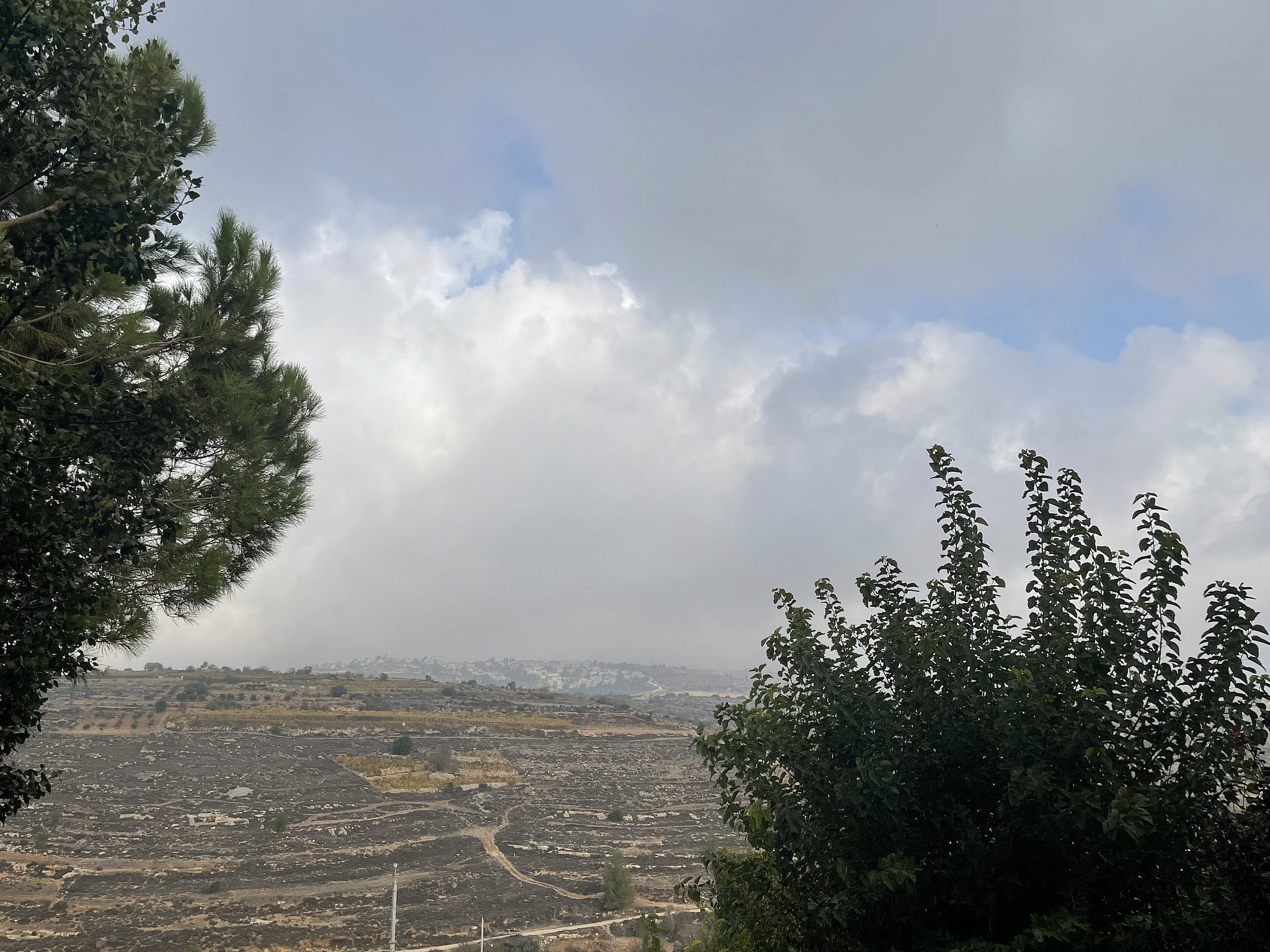
Winter Clouds Advancing Over the Mountains of Gush Etzion (Barry Lynn)
Good morning:
To be honest with you, I already had winter — or at least a couple of weeks. That’s because I spent two weeks working/learning in Stockholm Sweden, Tallinn Estonia, and Helsinki Finland. On the last couple of days it snowed nicely (like the steady, but accumulating snows of my childhood), so my winter at least is off to a good start. Why was I there? My company, Weather It Is, LTD, is part of the F10 accelerator. Our vision is to enable companies to take effective action to prepare for upcoming severe weather, several weeks in advance. In other words, while we all want to know what will happen tomorrow, the longer in advance we can accurately predict the weather, the more effective our forecasts in saving lives and protecting property.
I could go on about the trip (the nice people I met and the nice communities I stayed in for Shabbat), but for those of you that are still waiting for winter, I can tell you that your wait is over.
A storm will be developing near Cyprus today, which is termed a “Cyprus Low.” Such pressure systems are often preceded by dusty weather, which can help intensify thunderstorms along coastal areas (and in the Negev).
This Cyprus low is arriving a bit ahead of schedule. It was originally scheduled for Friday morning, but now it looks like there will be three periods of rain: this Thursday afternoon and evening, Friday afternoon, and leftover showers into Shabbat afternoon. Wind gusts should approach 50 km/h, which on the Beaufort Wind Scale is just short of a “Strong Breeze.” This is where large waves begin to form, it becomes difficult to hold an umbrella, and large branches move in the wind. These strong winds should occur during the peak of the storm on Friday.
Due to the relatively warm waters of the Mediterranean and strong upper air cooling, thunderstorms are expected, especially along the coast. As noted, the dusty air could lead to intense thunderstorms with plenty of lightning and even hail. Flooding of streets and some streams in the Dead Sea, Jordan Valley, and northern Negev is expected.
After a bit of warm up towards the end of the month, the Global Ensemble Forecast System (GEFS) is suggesting winter cold and rain should return for the first week of December. As noted by Yaakov Cantor of our “Israel Winter Weather” Group: “Since mid-Oct, we have seen enhanced subtropical jets from the equatorial Atlantic to the Middle East, and from the equatorial central Pacific to the southwest US. This is characteristic of an “El Nino-like” atmospheric pattern, which tends to be stormy and wetter for our area.” Such a weather pattern, he notes, should persist into February.
As pointed out by Jonathan Hoffman: a steady stream of storms during the winter months of December, January, and February means that our best chances for precipitation should occur when our weather is the coldest. Hence, this could be our best chance for a snowy Jerusalem winter in sometime.
While it might not be Spring, we can say that for our group of winter enthusiasts, “Hope springs eternal.”
Be well and drive carefully,
Barry Lynn
Related Topics
Related Posts